GIS & Spatial Intelligence
One live operating picture, fused from every feed you run, with GeoAI layered on top to forecast risk and demand at the level of a specific place, not a regional average. From smart-city and infrastructure digital twins to asset monitoring, route optimization, and location intelligence, spatial data becomes something a team can act on.
6 capabilities, one accountable team
Jump straight to the capability you need, or read the full pillar below.
- Spatial Data Fusion & Operating PicturesOne live operating picture, fused from every feed you have.
- GeoAI & Predictive Spatial AnalyticsForecasting risk and demand at the level of a specific place, not a regional average.
- Smart City & Infrastructure Digital TwinsA living model of the city or facility, not a static as-built drawing.
- Asset Monitoring & Remote SensingKnow an asset is degrading before it fails, from imagery you already have access to.
- Route & Logistics OptimizationFewer miles, the same deliveries, measured against what you were doing before.
- Location Intelligence & GeomarketingWhere to open, where to invest, and where the market already told you not to.

Spatial Data Fusion & Operating Pictures
One live operating picture, fused from every feed you have.
Planning and field teams too often work off different maps. Our GIS consulting services build the geospatial layer that fuses sensor data, imagery, and field reporting into a single shared picture - including offline-first tooling for teams that cannot count on connectivity, and the spatial analysis that turns a map into an answer.
- Real-time multi-source layer fusion (sensors, imagery, field reports)
- Offline-capable field data collection with conflict-safe sync
- Custom analytic overlays for terrain, routing, risk, and logistics
- Role-based access so every team sees only what it needs
How we engage
- Map current data sources, coordinate systems, and connectivity constraints
- Stand up the fused operating picture and the field tooling around it
- Train dispatch, planning, and field teams on one shared view
GeoAI & Predictive Spatial Analytics
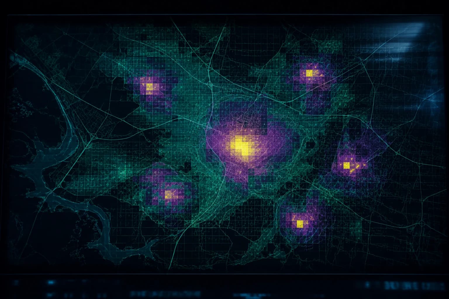
Forecasting risk and demand at the level of a specific place, not a regional average.
Machine learning layered directly on spatial data - predicting where infrastructure will fail, where demand will spike, where risk concentrates - at the resolution of a specific asset or block, not a citywide average that hides where the actual problem is.
- Spatial ML models trained on historical incident and sensor data
- Asset-level failure and risk forecasting, not regional aggregates
- Demand prediction tied to population, mobility, and seasonal patterns
- Model outputs delivered back onto the operating picture, not a separate report
How we engage
- Identify the spatial decision the forecast is meant to inform
- Train against historical spatial and incident data with a defined baseline
- Deploy predictions back into the live operating picture

Smart City & Infrastructure Digital Twins
A living model of the city or facility, not a static as-built drawing.
City- and infrastructure-scale digital twins synced to live sensor and asset data, so planning teams can simulate a change - a new development, a traffic pattern, a capacity upgrade - against the real system before committing capital to it.
- City- and facility-scale 3D twins synced to live asset and sensor data
- Scenario simulation for planning decisions before capital is committed
- Capacity and utilization modelling across utilities and infrastructure
- Stakeholder-facing visualization for planning reviews and public consultation
How we engage
- Scope the system boundary and the planning decisions the twin must support
- Build the twin from existing GIS, BIM, and sensor data
- Hand over a twin your planning team can run scenarios against directly
Asset Monitoring & Remote Sensing
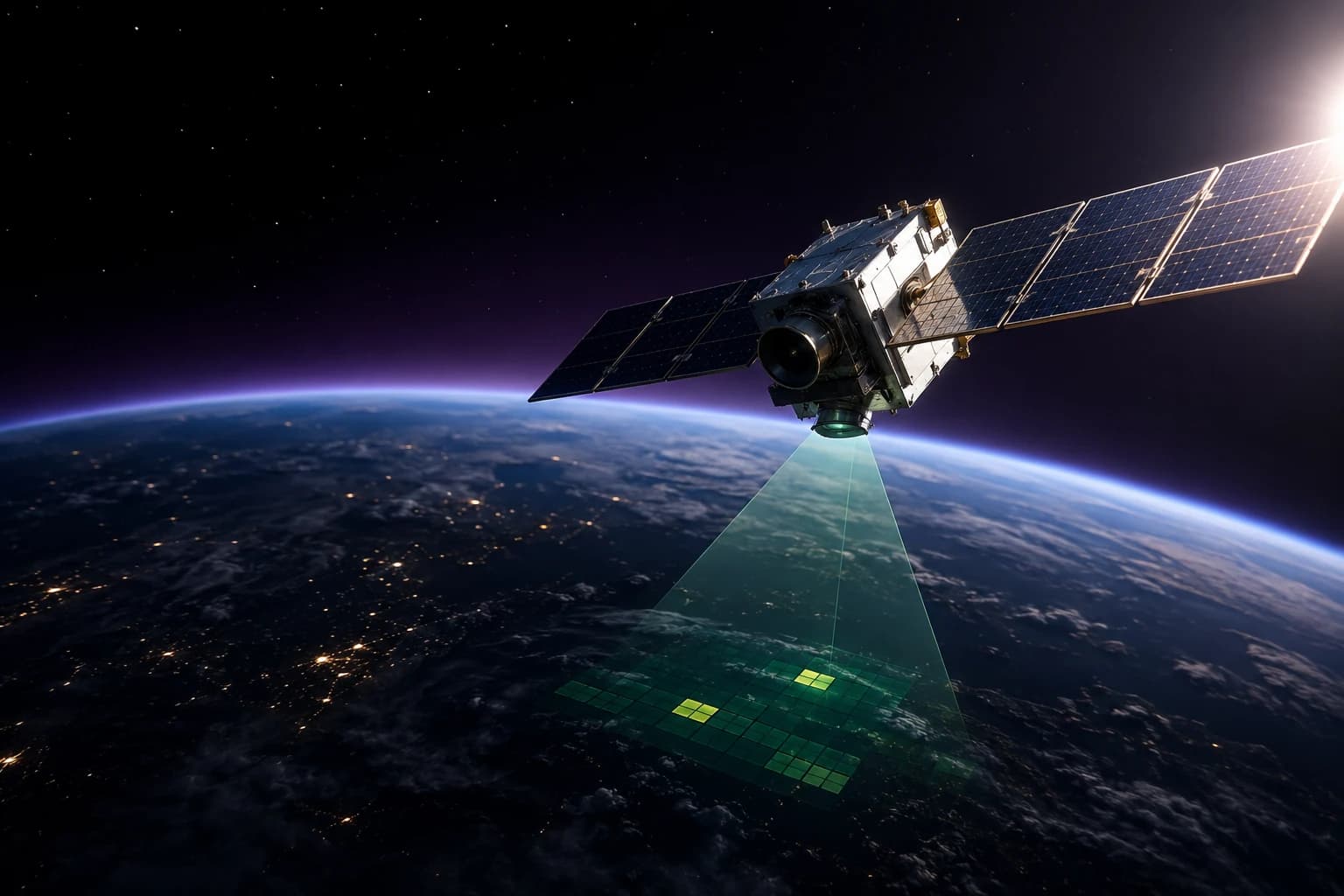
Know an asset is degrading before it fails, from imagery you already have access to.
Satellite and aerial imagery, IoT sensor feeds, and inspection data fused into a continuous asset-health picture - flagging degradation, encroachment, or anomalies against a physical asset without waiting for the next scheduled site visit.
- Satellite and aerial imagery change-detection on a defined schedule
- IoT sensor fusion for continuous condition monitoring
- Automated anomaly and encroachment alerts against baseline imagery
- Inspection prioritization ranked by asset criticality and change severity
How we engage
- Inventory assets and available imagery, sensor, and inspection sources
- Stand up automated change-detection against a defined baseline
- Route alerts into the maintenance and inspection workflow already in use

Route & Logistics Optimization
Fewer miles, the same deliveries, measured against what you were doing before.
Routing and logistics models built against real road networks, time windows, and vehicle constraints - not a straight-line distance estimate - cutting fleet miles and missed windows in operations where a percentage point is real money.
- Multi-vehicle routing against real road networks and time windows
- Constraint-aware optimization - capacity, driver hours, delivery priority
- Live re-routing against traffic, weather, and last-minute changes
- Before/after reporting on miles, fuel, and on-time performance
How we engage
- Baseline current routes, miles, and on-time performance
- Build and validate the optimization model against historical runs
- Deploy to dispatch and measure against the baseline

Location Intelligence & Geomarketing
Where to open, where to invest, and where the market already told you not to.
Site-selection, catchment, and demand-heatmap analysis that ties demographic, mobility, and competitor data to a specific location - turning a real-estate or expansion decision into something backed by a map, not a hunch.
- Site-selection scoring against demographic and mobility data
- Catchment and trade-area analysis for expansion planning
- Demand and competitor-density heatmaps down to the block level
- Ongoing location performance tracking after a site opens
How we engage
- Define the location decision and the data available to inform it
- Build the scoring model and heatmaps against real demographic data
- Deliver a ranked shortlist with the reasoning behind each score
The platforms behind this pillar
Engagements in this pillar are delivered on named platforms we build and run, not a fresh stack every time.
GeoVision™
GIS & GeoAI PlatformOne live geospatial operating picture, fused from every feed you run.
TwinScape™
Digital Twin PlatformDigital twins for urban planning and infrastructure visualization.
Launching soonIndustria IQ™
Manufacturing IntelligenceOperations, performance, and maintenance intelligence for manufacturing.
Launching soonThe other 5 pillars
Most engagements draw on more than one - they're built as a single stack, not six separate practices.
AI & Data Intelligence
Data science, machine learning, and the platform underneath it - from a raw feed to a model a business decision actually depends on.
10 capabilitiesProduct Innovation
From a validated idea to a shipped product, and the platform engineering that lets it scale.
5 capabilitiesImmersive Technologies
Simulation, field overlays, and shared spatial sessions for work that's expensive to get wrong.
6 capabilitiesFractional Leadership
Named executives, embedded and accountable, matched to the leadership gap that's actually costing you.
4 capabilitiesEmerging Technologies
The platform, infrastructure, and frontier technology layer underneath everything else we build.
4 capabilitiesGIS & Spatial Intelligence - the questions that come up first
Can't find what you're looking for? Ask us
Do we have to replace our existing GIS?
Usually not. Most of this work is spatial data fusion - pulling your existing GIS, sensor feeds, imagery, and operational systems into one live picture. Replacing a working system of record is rarely the cheapest route to the outcome you actually want.
Ready to talk through your next move?
Book a 30-minute strategy session with a ECLACTRA™ lead - no sales deck, just a straight conversation about where AI, geospatial, engineering, or fractional leadership could actually move the needle.