Built for complex, high-stakes work across 10 industries
Jump to an industry below for the products, capabilities, and outcomes that apply to it.








Government
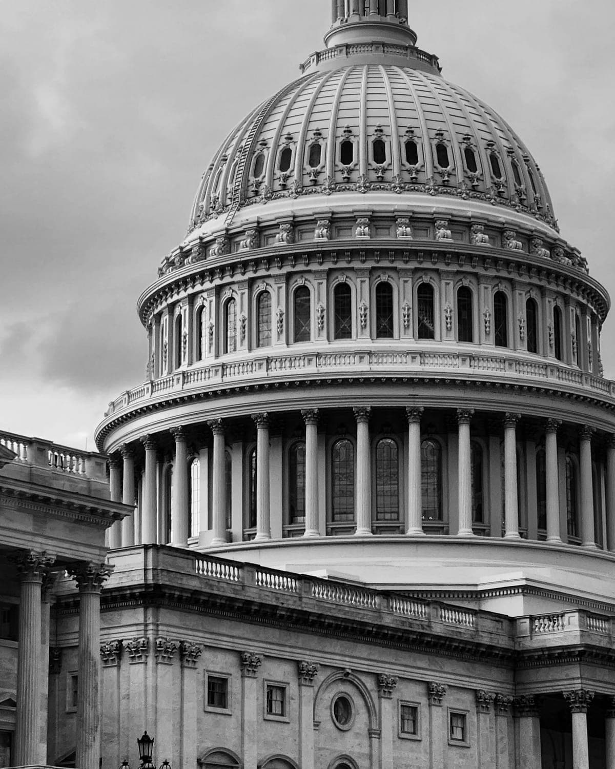
One geospatial operating picture, GeoAI forecasting, and secure digital services for departments that answer to constituents.
The shift
Siloed department maps
ToOne shared live operating picture
Unified geospatial operating pictures across departments
Departments working from one shared map instead of five
Constituent-facing digital services and self-serve portals
Fewer manual handoffs between a request and the department that owns it
Fractional CTO leadership for public-sector programs
A technology roadmap owned by a named executive
Healthcare
Patient intelligence, resource planning, and computer-vision-assisted diagnostics for institutions where a delay is never just an inconvenience.
The shift
Resource planning off weekly snapshots
ToPlanning built around live patient-flow data
Patient-flow and resource-planning intelligence
Reduced bed and staff scheduling friction
Computer vision for diagnostic and quality-inspection support
Faster triage on high-volume diagnostic queues
Governed AI decision-support with a full reasoning trail
Every AI-assisted decision auditable back to its source
Education
Learning intelligence and institutional analytics that show a program where students are actually struggling, not just where they dropped out.
The shift
A formal at-risk flag, after the fact
ToEarly-warning signals weeks earlier
Learning-outcome analytics across courses and cohorts
Program decisions backed by cohort-level data
Institutional resource and enrollment planning
Reporting that serves faculty, not just accreditation
Early-warning intervention signals for at-risk students
Earlier intervention before a student disengages entirely
Manufacturing
Operations, performance, and maintenance intelligence for plants where an hour of downtime is a real number on a real report.
The shift
Maintenance scheduled by calendar
ToMaintenance triggered by condition
Predictive maintenance from IoT and sensor fusion
Unplanned downtime caught before it becomes a stoppage
Computer-vision quality inspection on the line
Defect rates tracked and trending down, not just reported monthly
Digital twins for facility and process simulation
Process changes simulated before they hit the floor
Agriculture
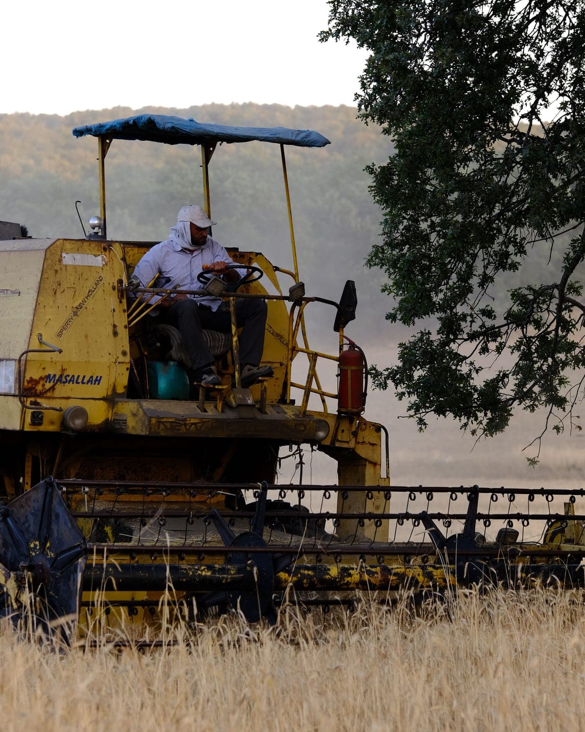
Remote sensing and GeoAI applied to fields and yields, not just city blocks.
The shift
Crop health checked on a manual field walk
ToCrop health read from a weekly imagery pass
Satellite and aerial imagery for crop-health monitoring
Irrigation and input decisions backed by imagery, not a field walk
Yield and irrigation forecasting from spatial and weather data
Yield forecasts that update as the season changes
Field-level asset and equipment tracking
Equipment and asset visibility across dispersed sites
Energy
Asset monitoring, grid intelligence, and infrastructure digital twins for operators where a failed asset means an outage, not a support ticket.
The shift
Inspections run on a fixed calendar
ToInspections ordered by predicted risk
Remote sensing and asset-health monitoring across the grid
Asset degradation flagged before a failure, not after an outage
Digital twins for substation and infrastructure planning
Capital planning simulated against a live twin, not a static drawing
Demand forecasting tied to weather and consumption patterns
Demand forecasts that account for real weather variance
Logistics
Route optimization and location intelligence for fleets where a percentage point of fuel is real, recurring money.
The shift
Routes planned once at the start of the day
ToRoutes re-optimized live, all day
Multi-vehicle route optimization against real road networks
Fewer miles driven for the same delivery volume
Live re-routing against traffic and last-minute changes
On-time performance tracked and improved against a real baseline
Warehouse and distribution-site location intelligence
Site-selection decisions backed by demand and mobility data
Telecommunications
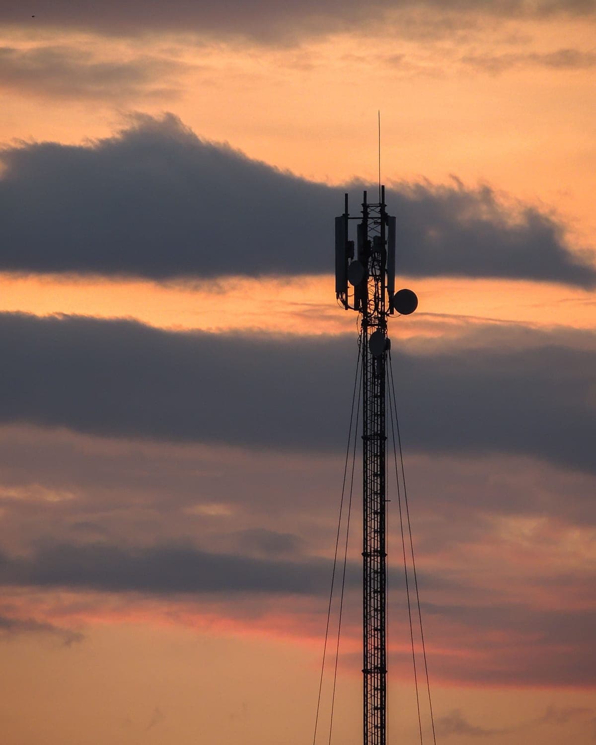
Network intelligence and infrastructure monitoring for operators managing assets across an entire coverage footprint.
The shift
Asset health checked on a truck-roll schedule
ToAsset health monitored continuously
Network asset monitoring via remote sensing and IoT
Asset issues flagged before a coverage complaint arrives
Coverage and capacity planning with spatial demand modelling
Capacity planning tied to real usage patterns, not projections alone
Field-workforce routing and dispatch optimization
Field crews routed against live conditions, not a static schedule
Real Estate
Location intelligence and digital twins for portfolios where the difference between two sites is the whole investment case.
The shift
Site selection on comparable-sales instinct
ToSite selection scored against data
Site-selection and catchment analysis for acquisitions
Acquisition decisions backed by demographic and mobility data
Digital twins for property and development visualization
Development plans reviewed against a 3D twin before groundbreaking
Portfolio-level location performance tracking
Portfolio performance tracked by location, not just by asset
Smart Cities
The full stack - GIS, GeoAI, digital twins, and IoT - for programs planning at the scale of a whole city, not a single site.
The shift
Static master plans
ToA continuously updated city twin
City-scale digital twins synced to live infrastructure data
Planning scenarios simulated against a live city model
Cross-department GeoAI forecasting for planning and risk
Infrastructure risk forecast at the block level, not citywide averages
IoT sensor networks feeding a shared operating picture
One shared operating picture across departments and agencies
Common questions about sector fit
Can't find what you're looking for? Ask us
Do you have experience in our specific sector?
We work across government, healthcare, education, manufacturing, agriculture, energy, logistics, telecommunications, real estate, and smart cities. Each industry page lists the capabilities, platforms, and outcomes that apply to it, so you can check the fit before the first call.
Ready to talk through your next move?
Book a 30-minute strategy session with a ECLACTRA™ lead - no sales deck, just a straight conversation about where AI, geospatial, engineering, or fractional leadership could actually move the needle.